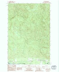
1987 Map of Ashford
USGS Topo · Published 1994About this map
Ashford and the nearby settlement of National anchor the southern edge of this landscape along the Nisqually River, just north of the border between Pierce and Lewis County. The terrain is defined by the drainages of the South Fork Mashel River, Niesson Creek, and Wild Busy Creek, showcasing a region heavily influenced by industrial and recreational land use.
Find a feature on this map
20 named features on this map. Tap any name to fly to it.
Don’t see what you’re looking for? This feature index may not catch every label — zoom into the map to look around manually.
Map Details
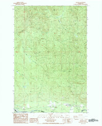
Editions of this 1987 Ashford Map
2 editions found
Other maps of this area

1924 · Mt Rainier
USGS Topo · 1:96,000

1928 · Mt Rainier
USGS Topo · 1:125,000

1937 · Eatonville
USGS Topo · 1:125,000

1950 · Yakima
USGS Topo · 1:250,000

1953 · Hoquiam
USGS Topo · 1:250,000

1956 · Mineral
USGS Topo · 1:62,500

1956 · Kapowsin
USGS Topo · 1:62,500

1957 · Hoquiam
USGS Topo · 1:250,000

1958 · Yakima
USGS Topo · 1:250,000

1958 · Hoquiam
USGS Topo · 1:250,000