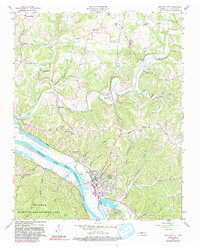
1957 Map of Ashland City
USGS Topo · Published 1992About this map
Ashland City and its surrounding river valley are defined by the winding course of the Cumberland River, which here expands into Cheatham Lake. In this mid-century period, the landscape transitions from the developed county seat to the protected woodlands of the Cheatham Wildlife Management Area south of the river. The map details a community woven together by family-named landmarks and rural institutions, such as the Sweet Home Community Center and Sycamore Chapel.
Find a feature on this map
47 named features on this map. Tap any name to fly to it.
Don’t see what you’re looking for? This feature index may not catch every label — zoom into the map to look around manually.
Map Details
Editions of this 1957 Ashland City Map
4 editions found

Other maps of this area

1903 · Nashville
USGS Topo · 1:125,000

1930 · White Bluff
USGS Topo · 1:62,500

1931 · Ridgetop
USGS Topo · 1:62,500

1932 · Nashville
USGS Topo · 1:62,500

1933 · White Bluff
USGS Topo · 1:62,500

1935 · Ridgetop
USGS Topo · 1:62,500

1955 · Forest Grove
USGS Topo · 1:24,000

1955 · Scottsboro
USGS Topo · 1:24,000

1956 · Nashville
USGS Topo · 1:250,000

1957 · Cheatham Dam
USGS Topo · 1:24,000