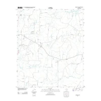
2013 Map of Ashland
USGS Topo · Published 2013About this map
Little Cypress Bayou meanders across the southern reaches of this landscape, anchoring a network of waterways that includes Eagle Cr and Caney Cr. This Harrison County terrain is characterized by dispersed settlements and family landholdings, reflected in the numerous burial grounds like Jones Cem near Old Diana and Ashland Cem situated near the crossroads at Ashland Hts. The map details a transition from the historic center at Old Diana toward newer developments near James and Diana.
Find a feature on this map
80 named features on this map. Tap any name to fly to it.
Don’t see what you’re looking for? This feature index may not catch every label — zoom into the map to look around manually.
Map Details
Editions of this 2013 Ashland Map
This is the sole edition of this map. No revisions or reprints were ever made.
Other maps of this area

1956 · Tyler
USGS Topo · 1:250,000

1960 · White Oak
USGS Topo · 1:24,000

1960 · Coffeeville
USGS Topo · 1:24,000

1960 · Glenwood
USGS Topo · 1:24,000

1961 · Hallsville
USGS Topo · 1:24,000

1961 · Lassater
USGS Topo · 1:24,000

1961 · Harleton
USGS Topo · 1:24,000

1962 · Ashland
USGS Topo · 1:24,000

1962 · Longview Heights
USGS Topo · 1:24,000

1962 · Ore City
USGS Topo · 1:24,000