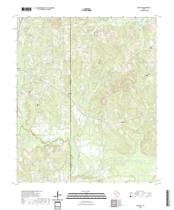
2022 Map of Ashland
USGS Topo · Published 2022About this map
The borderlands of Upshur, Harrison, and Gregg Counties define this landscape, where the settlements of Ashland, Diana, and Morton are connected by a network of farm-to-market roads and named lanes. The terrain is deeply inscribed by the winding course of the Little Cypress Bayou and its tributaries, including Arms Cr and Eagle Cr, creating a bottomland environment punctuated by features like French Lake. Genealogy and local history are particularly well-represented through numerous family and community burial sites such as Walnut Creek Cem, Shady Grove Cem, and the Bluff Springs Cem. This 2022 survey documents a rural Texas geography where modern residential developments like Ashland Hts and Singleton Trce sit adjacent to established agricultural patterns and the natural riparian corridors of the East Texas bayous.
Find a feature on this map
80 named features on this map. Tap any name to fly to it.
Don’t see what you’re looking for? This feature index may not catch every label — zoom into the map to look around manually.
Map Details
Editions of this 2022 Ashland Map
This is the sole edition of this map. No revisions or reprints were ever made.
Other maps of this area

1956 · Tyler
USGS Topo · 1:250,000

1960 · White Oak
USGS Topo · 1:24,000

1960 · Coffeeville
USGS Topo · 1:24,000

1960 · Glenwood
USGS Topo · 1:24,000

1961 · Hallsville
USGS Topo · 1:24,000

1961 · Lassater
USGS Topo · 1:24,000

1961 · Harleton
USGS Topo · 1:24,000

1962 · Ashland
USGS Topo · 1:24,000

1962 · Longview Heights
USGS Topo · 1:24,000

1962 · Ore City
USGS Topo · 1:24,000