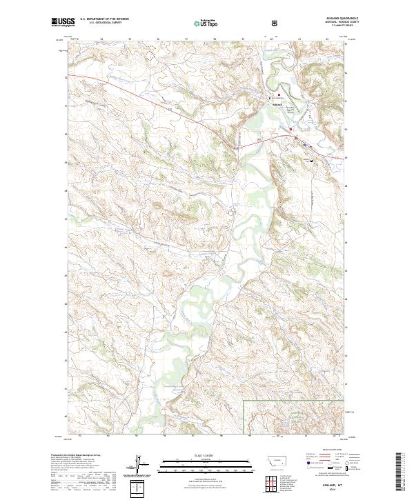
2024 Map of Ashland
USGS Topo · Published 2024About this map
Saint Labre Mission serves as a focal point for this area of southeastern Montana, situated where the Tongue River meets Otter Creek. The settlement of Ashland is closely tied to the mission complex, which includes the Saint Labre Cem and the St Labre Mission Airport. This landscape is defined by the winding river valley and its numerous tributaries, such as Walking Horse Creek and Logging Creek, which carve through the high plains.
Find a feature on this map
34 named features on this map. Tap any name to fly to it.
Don’t see what you’re looking for? This feature index may not catch every label — zoom into the map to look around manually.
Map Details
Editions of this 2024 Ashland Map
This is the sole edition of this map. No revisions or reprints were ever made.
Other maps of this area

1954 · Hardin
USGS Topo · 1:250,000

1957 · Hardin
USGS Topo · 1:250,000

1958 · Hardin
USGS Topo · 1:250,000

1958 · Garfield Peak
USGS Topo · 1:24,000

1958 · Hollowwood Creek
USGS Topo · 1:24,000

1966 · Ashland
USGS Topo · 1:24,000

1966 · Birney Day School
USGS Topo · 1:24,000

1966 · Cook Creek Reservoir
USGS Topo · 1:24,000

1966 · King Mountain
USGS Topo · 1:24,000

1966 · Willow Crossing
USGS Topo · 1:24,000