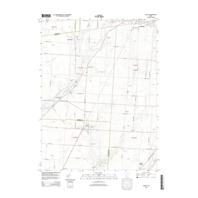
2013 Map of Ashley
USGS Topo · Published 2013About this map
Ashley and Cardington serve as the primary hubs in this rural landscape spanning the borders of Marion, Morrow, and Delaware counties. The region is defined by a dense network of country roads and small headwater streams, including Whetstone Creek and W Br Alum Cr, which carve through the agricultural tablelands. This map is particularly valuable for genealogists, as it preserves the exact locations of numerous small burying grounds, such as Mounds Cem, Gavitt Cem, and the Baptist Cem west of US Highway 42 N. The presence of several Methodist Episcopal cemeteries, including the Westfield Methodist Episcopal Cem, indicates the religious centers of these farming communities. The layout of the small crossroads settlement at Shawtown and the family heritage at Shoemaker Farms highlight the early 21st-century rural character of central Ohio before further suburban expansion.
Find a feature on this map
94 named features on this map. Tap any name to fly to it.
Don’t see what you’re looking for? This feature index may not catch every label — zoom into the map to look around manually.
Map Details
Editions of this 2013 Ashley Map
This is the sole edition of this map. No revisions or reprints were ever made.
Other maps of this area

1903 · Marion
USGS Topo · 1:62,500

1905 · Marion
USGS Topo · 1:62,500

1913 · Mount Gilead
USGS Topo · 1:62,500

1915 · Marengo
USGS Topo · 1:62,500

1916 · Mount Gilead
USGS Topo · 1:62,500

1924 · Delaware
USGS Topo · 1:62,500

1925 · Delaware
USGS Topo · 1:62,500

1943 · Marengo
USGS Topo · 1:62,500

1943 · Mount Gilead
USGS Topo · 1:62,500

1944 · Delaware
USGS Topo · 1:62,500