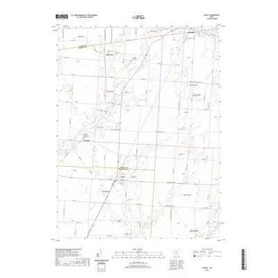
2019 Map of Ashley
USGS Topo · Published 2019About this map
Whetstone Creek and Alum Creek anchor the rural landscape of this central Ohio region, where the borders of Marion, Morrow, and Delaware counties meet. The village of Ashley serves as a primary hub, while smaller historically rooted settlements like Westfield and Shawtown maintain their presence through dense clusters of local-history landmarks. The map is particularly rich for genealogical research, documenting numerous denominational burial grounds including Baptist Cem, Center Methodist Episcopal Cem, and Westfield Methodist Episcopal Cem.
Find a feature on this map
98 named features on this map. Tap any name to fly to it.
Don’t see what you’re looking for? This feature index may not catch every label — zoom into the map to look around manually.
Map Details
Editions of this 2019 Ashley Map
This is the sole edition of this map. No revisions or reprints were ever made.
Other maps of this area

1903 · Marion
USGS Topo · 1:62,500

1905 · Marion
USGS Topo · 1:62,500

1913 · Mount Gilead
USGS Topo · 1:62,500

1915 · Marengo
USGS Topo · 1:62,500

1916 · Mount Gilead
USGS Topo · 1:62,500

1924 · Delaware
USGS Topo · 1:62,500

1925 · Delaware
USGS Topo · 1:62,500

1943 · Marengo
USGS Topo · 1:62,500

1943 · Mount Gilead
USGS Topo · 1:62,500

1944 · Delaware
USGS Topo · 1:62,500