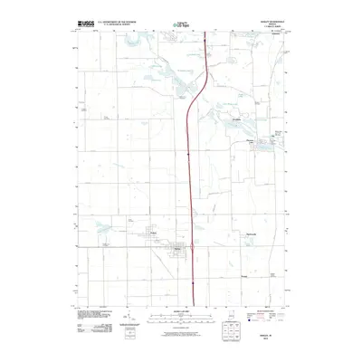
2010 Map of Ashley
USGS Topo · Published 2010About this map
Ashley and Hudson anchor the southern corridor of this Indiana landscape, where the local economy and settlement patterns are defined by a complex network of glacial lakes and drainage ditches. The area around Pleasant Lake shows a cluster of activity including the Myers Rait and Fish Hatchery and Pleasant Lake Cemetery. Further north, smaller settlements like Moonlight and Steubenville appear alongside notable water bodies such as Golden Lake, Hogback Lake, and Johnson Lake. Genealogists will find a high density of rural burial grounds, including Barkers Chapel Cemetery, Circle Cemetery, and Mount Zion Cemetery, which mark early family and community centers. The infrastructure is characterized by modern transit through S Interstate 69 cutting through a terrain shaped by agriculture and water management, evidenced by features like Smathers Ditch and Conrad Ditch.
Find a feature on this map
72 named features on this map. Tap any name to fly to it.
Don’t see what you’re looking for? This feature index may not catch every label — zoom into the map to look around manually.
Map Details
Editions of this 2010 Ashley Map
This is the sole edition of this map. No revisions or reprints were ever made.
Other maps of this area

1939 · Hamilton
USGS Topo · 1:24,000

1939 · Angola East
USGS Topo · 1:24,000

1940 · Orland
USGS Topo · 1:24,000

1941 · Orland
USGS Topo · 1:24,000

1941 · Angola West
USGS Topo · 1:24,000

1942 · Ashley
USGS Topo · 1:24,000

1942 · Angola West
USGS Topo · 1:24,000

1942 · Stroh
USGS Topo · 1:24,000

1947 · Angola East
USGS Topo · 1:24,000

1948 · Hamilton
USGS Topo · 1:24,000