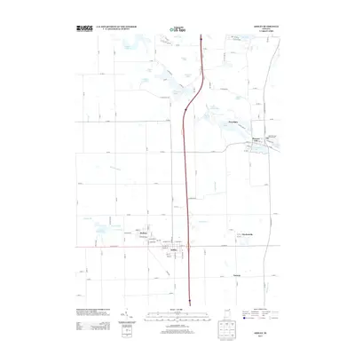
2013 Map of Ashley
USGS Topo · Published 2013About this map
The town of Ashley sits at the southern heart of this Steuben County landscape, with its residential grid extending north into Hudson. This part of Northeast Indiana is defined by its glacial kettle lakes and an intricate network of drainage ditches, where major water bodies like Johnson Lake, Golden Lake, and Silver Lake are interspersed with smaller pools such as Mink Lake and Black Lake. The area's agricultural and rural character is punctuated by several small communities, including the village of Pleasant Lake and the settlement of Moonlight.
Find a feature on this map
116 named features on this map. Tap any name to fly to it.
Don’t see what you’re looking for? This feature index may not catch every label — zoom into the map to look around manually.
Map Details
Editions of this 2013 Ashley Map
This is the sole edition of this map. No revisions or reprints were ever made.
Other maps of this area

1939 · Hamilton
USGS Topo · 1:24,000

1939 · Angola East
USGS Topo · 1:24,000

1940 · Orland
USGS Topo · 1:24,000

1941 · Orland
USGS Topo · 1:24,000

1941 · Angola West
USGS Topo · 1:24,000

1942 · Ashley
USGS Topo · 1:24,000

1942 · Angola West
USGS Topo · 1:24,000

1942 · Stroh
USGS Topo · 1:24,000

1947 · Angola East
USGS Topo · 1:24,000

1948 · Hamilton
USGS Topo · 1:24,000