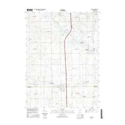
2016 Map of Ashley
USGS Topo · Published 2016About this map
The boundary between Steuben County and DeKalb County divides this landscape of glacial lakes and small towns in northeastern Indiana. Ashley and Hudson sit at the southern edge of a region defined by complex hydrography, where Pigeon Creek and Johnson Ditch drain a terrain dotted with water bodies like Hogback Lake, Golden Lake, and Fox Lake. The settlement patterns here remain closely tied to these waters, with Pleasant Lake and Moonlight situated near their namesake features.
Find a feature on this map
70 named features on this map. Tap any name to fly to it.
Don’t see what you’re looking for? This feature index may not catch every label — zoom into the map to look around manually.
Map Details
Editions of this 2016 Ashley Map
This is the sole edition of this map. No revisions or reprints were ever made.
Other maps of this area

1939 · Hamilton
USGS Topo · 1:24,000

1939 · Angola East
USGS Topo · 1:24,000

1940 · Orland
USGS Topo · 1:24,000

1941 · Orland
USGS Topo · 1:24,000

1941 · Angola West
USGS Topo · 1:24,000

1942 · Ashley
USGS Topo · 1:24,000

1942 · Angola West
USGS Topo · 1:24,000

1942 · Stroh
USGS Topo · 1:24,000

1947 · Angola East
USGS Topo · 1:24,000

1948 · Hamilton
USGS Topo · 1:24,000