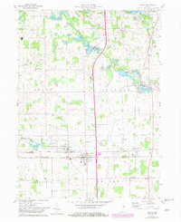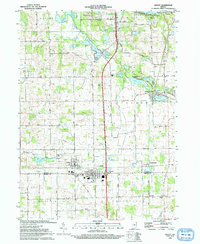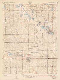
1942 Map of Ashley
USGS Topo · Published 1942About this map
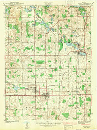
Ashley and Hudson sit at the southern edge of this 1939 survey, where the Wabash railroad corridor cuts across the county line between Steuben and DeKalb. This glaciated landscape is defined by an intricate network of kettle lakes and wetlands, including Hogback Lake, Golden Lake, and Moonlight Lake. The presence of numerous family-named and community landmarks like Hollister Cem, Clark Cem, and Mt Zion Ch indicates a settled rural population deeply tied to the land's topography. Further east, the New York Central line passes through Pleasant Lake and Steubenville, highlighting the era's reliance on rail transport for agricultural commerce. The drainage patterns, reflected in features like Circle Ditch and Johnson Ditch, show the ongoing effort to manage the marshy terrain for productive use.
Find a feature on this map
43 named features on this map. Tap any name to fly to it.
Don’t see what you’re looking for? This feature index may not catch every label — zoom into the map to look around manually.
Map Details
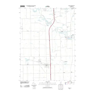
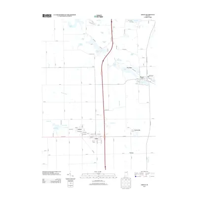
Editions of this 1942 Ashley Map
2 editions found
Historical Maps of Angola Through Time
8 maps found