
1969 Map of Ashmore
USGS Topo · Published 1971About this map
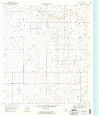
The Adair Oil Field dominates the landscape of the South Plains in the late 1960s, illustrating the heavy industrial footprint of petroleum extraction across the border of Gaines and Terry Counties. This survey captures a terrain marked by numerous oil wells and a centralized Refinery, set against the subtle topography of Sulphur Springs Draw. Small rural settlements like Adair, Ashmore, and White serve as the primary hubs for the local population, connected by a rigid grid of section roads and fence lines. The presence of a Gravel Pit further underscores the resource-driven economy of the region. This map is a significant record for those tracing the industrial evolution of the Texas Panhandle, showing the exact placement of individual wells and infrastructure that defined the area during this era of peak production.
Find a feature on this map
8 named features on this map. Tap any name to fly to it.
Don’t see what you’re looking for? This feature index may not catch every label — zoom into the map to look around manually.
Map Details
Editions of this 1969 Ashmore Map
2 editions found
Other maps of this area

1954 · Hobbs
USGS Topo · 1:250,000

1954 · Brownfield
USGS Topo · 1:250,000

1958 · Brownfield
USGS Topo · 1:250,000

1958 · Hobbs
USGS Topo · 1:250,000

1962 · Brownfield
USGS Topo · 1:250,000

1969 · Foster
USGS Topo · 1:24,000

1969 · Loop
USGS Topo · 1:24,000

1969 · Welch SW
USGS Topo · 1:24,000
1969 · Union School
USGS Topo · 1:24,000
1969 · Welch West
USGS Topo · 1:24,000