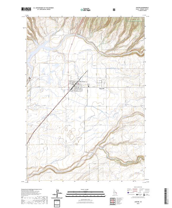
2024 Map of Ashton
USGS Topo · Published 2024About this map
The agricultural and hydraulic development of Fremont County is centered on Ashton and the neighboring settlement of Marysville. This high-altitude landscape is defined by an intricate network of irrigation systems, including the Marysville Canal, Farmers Own Canal, and the North Lateral Marysville Canal, which divert water from the Henry's Fork and Fall River to support the surrounding farmland. The topography transitions from the organized grid of the valley floor into the steep, canyon-riven terrain of the Targhee National Forest to the northeast.
Find a feature on this map
74 named features on this map. Tap any name to fly to it.
Don’t see what you’re looking for? This feature index may not catch every label — zoom into the map to look around manually.
Map Details
Editions of this 2024 Ashton Map
This is the sole edition of this map. No revisions or reprints were ever made.
Other maps of this area

1949 · Newdale
USGS Topo · 1:24,000

1950 · Newdale
USGS Topo · 1:24,000

1955 · Ashton
USGS Topo · 1:250,000

1955 · Driggs
USGS Topo · 1:250,000

1958 · Driggs
USGS Topo · 1:250,000

1958 · Ashton
USGS Topo · 1:250,000

1960 · Ashton
USGS Topo · 1:250,000

1962 · Driggs
USGS Topo · 1:250,000

1965 · Lemon Lake
USGS Topo · 1:24,000

1965 · Ashton
USGS Topo · 1:24,000