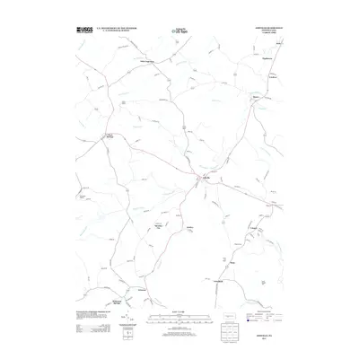
2013 Map of Ashville
USGS Topo · Published 2013About this map
Clearfield Cr and its various tributaries, including Beaverdam Run, Swartz Run, and Laurel Run, carve through this section of the Allegheny Plateau. The landscape is dotted with small settlements that speak to the area's development, from the hub of Ashville to the rural centers of Chest Springs and Saint Augustine. Near the southern edge, Wildwood Springs and Syberton mark the transition toward higher elevations, while Burgoons Gap provides a natural passage through the terrain. The presence of Strohmier Airport and the Elstie Fire Tower highlight the region's infrastructure and forestry management. Genealogists and local historians can trace the network of secondary roads and lanes, such as Beaver Valley Rd and Walnut Hollow Rd, that connect these communities. Smaller locales like Spindley City, Amsbry, and Tippletown offer a look at the scattered residential and industrial patterns of the early twenty-first century.
Find a feature on this map
108 named features on this map. Tap any name to fly to it.
Don’t see what you’re looking for? This feature index may not catch every label — zoom into the map to look around manually.
Map Details
Editions of this 2013 Ashville Map
This is the sole edition of this map. No revisions or reprints were ever made.
Other maps of this area

1902 · Ebensburg
USGS Topo · 1:62,500

1902 · Patton
USGS Topo · 1:62,500

1902 · Hollidaysburg
USGS Topo · 1:62,500

1903 · Hollidaysburg
USGS Topo · 1:62,500

1904 · Patton
USGS Topo · 1:62,500

1904 · Ebensburg
USGS Topo · 1:62,500

1920 · Altoona
USGS Topo · 1:62,500

1922 · Altoona
USGS Topo · 1:62,500

1943 · Punxsutawney
USGS Topo · 1:125,000

1953 · Pittsburgh
USGS Topo · 1:250,000