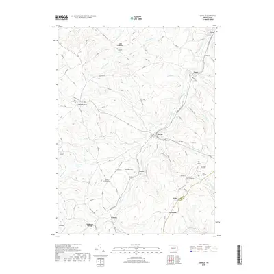
2019 Map of Ashville
USGS Topo · Published 2019About this map
Ashville and the surrounding heights of the Allegheny Front define this landscape in the western Pennsylvania coal country. The map details a network of small settlements and hamlets including Spindley City, Amsbry, and Coupon, many of which were established alongside the deep valleys of Clearfield Creek and its tributaries like Slate Lick Run. The area's spiritual and genealogical history is well-preserved through numerous burial grounds, such as the Saint Josephs Roman Catholic Cemetery and the family-associated Gallaher Douglass Cemetery.
Find a feature on this map
98 named features on this map. Tap any name to fly to it.
Don’t see what you’re looking for? This feature index may not catch every label — zoom into the map to look around manually.
Map Details
Editions of this 2019 Ashville Map
This is the sole edition of this map. No revisions or reprints were ever made.
Other maps of this area

1902 · Ebensburg
USGS Topo · 1:62,500

1902 · Patton
USGS Topo · 1:62,500

1902 · Hollidaysburg
USGS Topo · 1:62,500

1903 · Hollidaysburg
USGS Topo · 1:62,500

1904 · Patton
USGS Topo · 1:62,500

1904 · Ebensburg
USGS Topo · 1:62,500

1920 · Altoona
USGS Topo · 1:62,500

1922 · Altoona
USGS Topo · 1:62,500

1943 · Punxsutawney
USGS Topo · 1:125,000

1953 · Pittsburgh
USGS Topo · 1:250,000