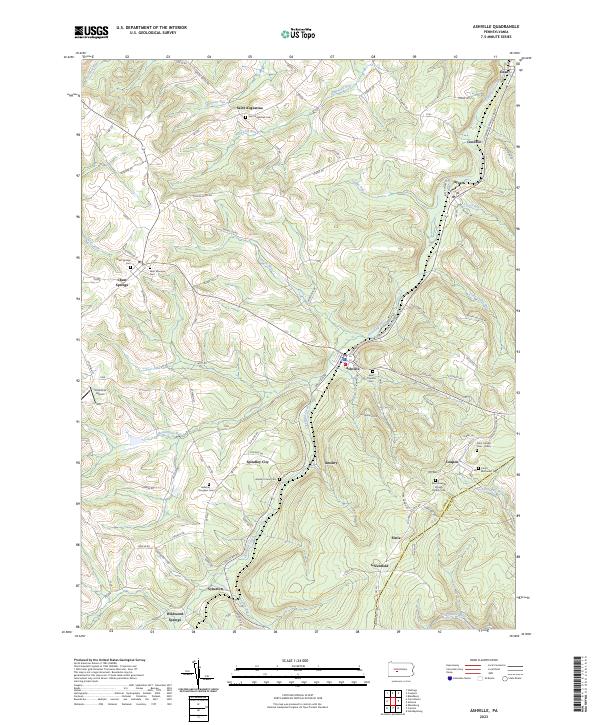
2023 Map of Ashville
USGS Topo · Published 2023About this map
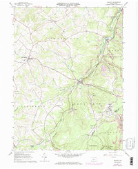
Clearfield Creek winds through the center of this landscape, anchoring a series of small settlements and mining towns along the Cambria Co Blair Co line. The area is characterized by numerous small mountain communities like Ashville, Chest Springs, and Amsbry, each tied to the local topography and resource extraction heritage of the region. Local history and genealogy are particularly prominent here, evidenced by a high density of religious and family burial sites, including the Gallaher - Douglass Cem, the Saint Joseph Cem - Polish, and the Saint Augustine Cem.
Find a feature on this map
107 named features on this map. Tap any name to fly to it.
Don’t see what you’re looking for? This feature index may not catch every label — zoom into the map to look around manually.
Map Details
Editions of this 2023 Ashville Map
This is the sole edition of this map. No revisions or reprints were ever made.