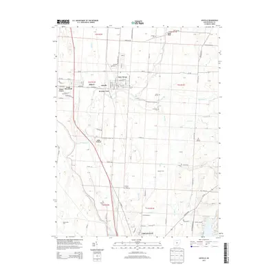
2013 Map of Ashville
USGS Topo · Published 2013About this map
The Scioto River forms a major geographic boundary on the western edge of this agricultural landscape, where the settlements of Ashville and South Bloomfield anchor the community. The town of Ashville is particularly detailed, showing the layout of the local street grid including Station St E and Main St E, alongside the prominent Ashville Cem. Small residential enclaves and farming developments such as Little Chicago, Millport, and Dresbach Farms are scattered throughout the territory, illustrating the shift from traditional homesteads to modern rural subdivisions.
Find a feature on this map
88 named features on this map. Tap any name to fly to it.
Don’t see what you’re looking for? This feature index may not catch every label — zoom into the map to look around manually.
Map Details
Editions of this 2013 Ashville Map
This is the sole edition of this map. No revisions or reprints were ever made.
Other maps of this area

1911 · Era
USGS Topo · 1:62,500

1913 · Era
USGS Topo · 1:62,500

1914 · Circleville
USGS Topo · 1:62,500

1923 · West Columbus
USGS Topo · 1:62,500

1925 · East Columbus
USGS Topo · 1:62,500

1925 · West Columbus
USGS Topo · 1:62,500

1943 · Era
USGS Topo · 1:62,500

1943 · Circleville
USGS Topo · 1:62,500

1943 · East Columbus
USGS Topo · 1:62,500

1947 · Columbus
USGS Topo · 1:250,000