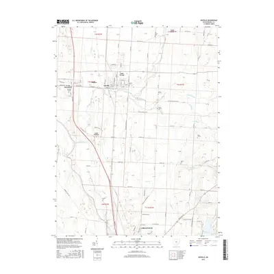
2016 Map of Ashville
USGS Topo · Published 2016About this map
Walnut Creek and the Scioto River define the agricultural drainage of Pickaway County in this 2016 survey, where the village of Ashville and the town of South Bloomfield anchor the northern landscape. The map reveals a transition from these established settlements toward the northern edge of Circleville in the south, following the corridor of Pickaway St. The rural areas are marked by several small, family-named burial grounds like Bowsher Cem and Reber Hill Cem, which offer significant value for genealogists tracing early land ownership and settlement patterns. Notable water features like Hargus Lake and the marshy edges of Wolfe Pond reflect the local hydrology, while the presence of Little Chicago provides a look at the historical naming and grouping of rural residential clusters along the roadway network.
Find a feature on this map
56 named features on this map. Tap any name to fly to it.
Don’t see what you’re looking for? This feature index may not catch every label — zoom into the map to look around manually.
Map Details
Editions of this 2016 Ashville Map
This is the sole edition of this map. No revisions or reprints were ever made.
Other maps of this area

1911 · Era
USGS Topo · 1:62,500

1913 · Era
USGS Topo · 1:62,500

1914 · Circleville
USGS Topo · 1:62,500

1923 · West Columbus
USGS Topo · 1:62,500

1925 · East Columbus
USGS Topo · 1:62,500

1925 · West Columbus
USGS Topo · 1:62,500

1943 · Era
USGS Topo · 1:62,500

1943 · Circleville
USGS Topo · 1:62,500

1943 · East Columbus
USGS Topo · 1:62,500

1947 · Columbus
USGS Topo · 1:250,000