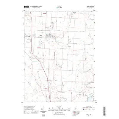
2019 Map of Ashville
USGS Topo · Published 2019About this map
Walnut Creek and the Scioto River define the agricultural and residential landscape of northern Pickaway County in this contemporary survey. The town of Ashville serves as a central hub, flanked by smaller settlements like South Bloomfield, Millport, and the curiously named Little Chicago. For local historians and genealogists, the map provides precise locations for numerous burial grounds, including the Harrison Township Cem and Reber Hill Cem, which are scattered throughout the townships.
Find a feature on this map
93 named features on this map. Tap any name to fly to it.
Don’t see what you’re looking for? This feature index may not catch every label — zoom into the map to look around manually.
Map Details
Editions of this 2019 Ashville Map
This is the sole edition of this map. No revisions or reprints were ever made.
Other maps of this area

1911 · Era
USGS Topo · 1:62,500

1913 · Era
USGS Topo · 1:62,500

1914 · Circleville
USGS Topo · 1:62,500

1923 · West Columbus
USGS Topo · 1:62,500

1925 · East Columbus
USGS Topo · 1:62,500

1925 · West Columbus
USGS Topo · 1:62,500

1943 · Era
USGS Topo · 1:62,500

1943 · Circleville
USGS Topo · 1:62,500

1943 · East Columbus
USGS Topo · 1:62,500

1947 · Columbus
USGS Topo · 1:250,000