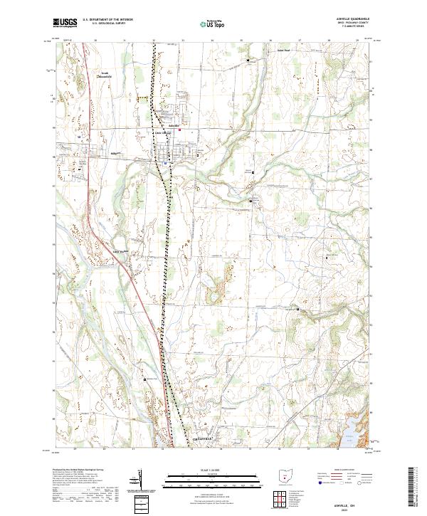
2023 Map of Ashville
USGS Topo · Published 2023About this map
The Scioto River forms a defining western boundary for this central Ohio landscape, where the agricultural plains meet established village centers. Ashville serves as the primary hub, showing a dense grid of streets including Pickaway St and Station St, while the nearby settlement of Little Chicago sits just to its north. The map documents a high density of rural burial grounds that speak to the area's pioneer heritage, including the Bowsher Cem near Dry Run and the Harrison Township Cem further west.
Find a feature on this map
94 named features on this map. Tap any name to fly to it.
Don’t see what you’re looking for? This feature index may not catch every label — zoom into the map to look around manually.
Map Details
Editions of this 2023 Ashville Map
This is the sole edition of this map. No revisions or reprints were ever made.
Other maps of this area

1911 · Era
USGS Topo · 1:62,500

1913 · Era
USGS Topo · 1:62,500

1914 · Circleville
USGS Topo · 1:62,500

1923 · West Columbus
USGS Topo · 1:62,500

1925 · East Columbus
USGS Topo · 1:62,500

1925 · West Columbus
USGS Topo · 1:62,500

1943 · Era
USGS Topo · 1:62,500

1943 · Circleville
USGS Topo · 1:62,500

1943 · East Columbus
USGS Topo · 1:62,500

1947 · Columbus
USGS Topo · 1:250,000