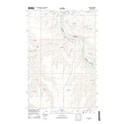
2014 Map of Asotin
USGS Topo · Published 2014About this map
Asotin serves as the focal point of this region where the Snake River carves the border between Washington and Idaho. The landscape is defined by dramatic elevation changes, rising from the riverbanks to Ayers Ridge and the high plateaus bisected by Maguire Gulch and Ayers Gulch. This 2014 survey documents the interface between the growing residential developments of Swallows Nest and the more remote settlement of Jerry to the west. Near the river, modern infrastructure such as the Lewiston-Nez Perce County Airport and Hells Gato Marina contrast with the rugged natural features of Lower Granite Lake and Tenmile Rapids. Local history is anchored at the Asotin Cem, while the intricate network of watercourses including Tammany Cr, George Cr, and Asotin Cr dictates the path of rural roads like Cloverland Rd and Snake River Rd.
Find a feature on this map
60 named features on this map. Tap any name to fly to it.
Don’t see what you’re looking for? This feature index may not catch every label — zoom into the map to look around manually.
Map Details
Editions of this 2014 Asotin Map
This is the sole edition of this map. No revisions or reprints were ever made.
Other maps of this area

1944 · Anatone
USGS Topo · 1:62,500

1945 · Clarkston
USGS Topo · 1:62,500

1946 · Limekiln Rapids
USGS Topo · 1:62,500

1946 · Anatone
USGS Topo · 1:62,500

1948 · Clarkston
USGS Topo · 1:62,500

1955 · Pullman
USGS Topo · 1:250,000

1958 · Pullman
USGS Topo · 1:250,000

1958 · Lewiston Orchards North
USGS Topo · 1:24,000

1958 · Lewiston Orchards South
USGS Topo · 1:24,000

1958 · Lewiston Orchards
USGS Topo · 1:62,500