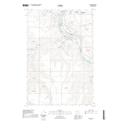
2020 Map of Asotin
USGS Topo · Published 2020About this map
Asotin and the outskirts of Lewiston dominate this modern topographical record of the Idaho and Washington border. The Snake River carves a deep valley between the two states, with Tenmile Rapids marking a point of navigation difficulty on the river's path. Local settlement patterns are defined by the sharp transition from the river basin to the high plateaus, where Jerry sits at the base of Maguire Gulch. The rugged southern terrain is defined by dramatic landforms like Ayers Ridge and numerous drainages including Pintler Cr and Kelly Cr. Along the riverbanks, recreational and industrial infrastructure is visible through the Clearwater & Snake NFT and the Lewiston-Nez Perce County Airport, while local genealogy is rooted at the Asotin Cem and family-named landmarks like Beckman Gulch.
Find a feature on this map
80 named features on this map. Tap any name to fly to it.
Don’t see what you’re looking for? This feature index may not catch every label — zoom into the map to look around manually.
Map Details
Editions of this 2020 Asotin Map
This is the sole edition of this map. No revisions or reprints were ever made.
Other maps of this area

1944 · Anatone
USGS Topo · 1:62,500

1945 · Clarkston
USGS Topo · 1:62,500

1946 · Limekiln Rapids
USGS Topo · 1:62,500

1946 · Anatone
USGS Topo · 1:62,500

1948 · Clarkston
USGS Topo · 1:62,500

1955 · Pullman
USGS Topo · 1:250,000

1958 · Pullman
USGS Topo · 1:250,000

1958 · Lewiston Orchards North
USGS Topo · 1:24,000

1958 · Lewiston Orchards South
USGS Topo · 1:24,000

1958 · Lewiston Orchards
USGS Topo · 1:62,500