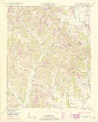
1950 Map of Aspen Hill
USGS Topo · Published 1967About this map
Louisville and Nashville tracks run through the heart of this Southern Tennessee landscape, connecting the communities of Aspen Hill and Prospect Sta. The 1950s terrain is heavily dissected by narrow valleys and hollows, such as Happy Hollow, Westmoreland Hollow, and Hazelwood Hollow, which dictate the placement of rural homesteads and winding roads. This survey, updated with 1960s data, reveals a dense network of local landmarks including Davis Academy and Willow Grove School, alongside numerous country churches like Phoenix Chapel and Shoal Bluff Church.
Find a feature on this map
79 named features on this map. Tap any name to fly to it.
Don’t see what you’re looking for? This feature index may not catch every label — zoom into the map to look around manually.
Map Details
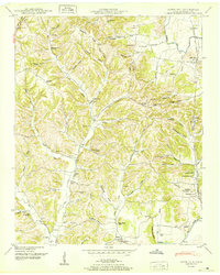
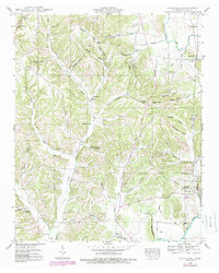
Editions of this 1950 Aspen Hill Map
3 editions found
Other maps of this area

1888 · Huntsville
USGS Topo · 1:125,000

1892 · Huntsville
USGS Topo · 1:125,000

1936 · Union Hill
USGS Topo · 1:24,000

1936 · Aspen Hill
USGS Topo · 1:24,000

1936 · Elkmont
USGS Topo · 1:24,000

1936 · Pulaski
USGS Topo · 1:24,000

1936 · Bodenham
USGS Topo · 1:24,000

1936 · Appleton
USGS Topo · 1:24,000

1936 · Tarpley
USGS Topo · 1:24,000

1936 · Elkton
USGS Topo · 1:24,000