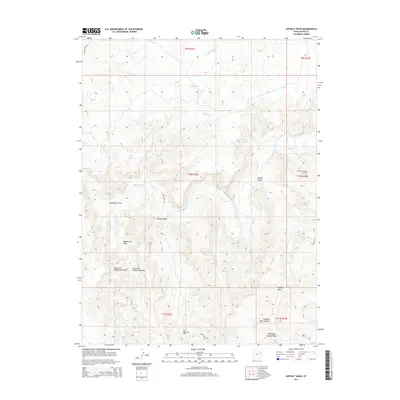
2014 Map of Asphalt Wash
USGS Topo · Published 2014About this map
The White River carves a winding path through this corner of Uintah County, defining a complex drainage system of deep washes and draws. The landscape is heavily marked by the energy economy of the 21st century, dominated by the Southman Canyon Gas Field and the Rock House Gas Field. These industrial footprints are supported by a network of specialized routes like the Rock House Loop and S Atchee Wash Rd, which navigate the high-relief topography. Tributaries such as Asphalt Wash and Atchees Wash feed into the river basin, while the forks of Saddletree Draw highlight the erosional patterns typical of this arid region. The presence of Hanging Rock Hollow suggests the distinct geological features that have long influenced navigation and land use in this part of eastern Utah.
Find a feature on this map
18 named features on this map. Tap any name to fly to it.
Don’t see what you’re looking for? This feature index may not catch every label — zoom into the map to look around manually.
Map Details
Editions of this 2014 Asphalt Wash Map
This is the sole edition of this map. No revisions or reprints were ever made.
Other maps of this area

1885 · East Tavaputs
USGS Topo · 1:250,000

1885 · Ashley
USGS Topo · 1:250,000

1907 · Jensen
USGS Topo · 1:125,000

1910 · Jensen
USGS Topo · 1:125,000

1954 · Vernal
USGS Topo · 1:250,000

1956 · Grand Junction
USGS Topo · 1:250,000

1958 · Vernal
USGS Topo · 1:250,000

1959 · Grand Junction
USGS Topo · 1:250,000

1960 · Vernal
USGS Topo · 1:250,000

1960 · Grand Junction
USGS Topo · 1:250,000