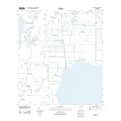
2012 Map of Astatula
USGS Topo · Published 2012About this map
Sugarloaf Mountain rises as a prominent landmark in this lake-strewn landscape, anchoring the southwest while the town of Astatula sits to the north. This region is defined by its complex hydrology, where the large expanse of Lake Harris and Lake Apopka are connected by a network of managed waterways, including the McDonald Canal and the critical Lake Apopka Lock and Dm. The infrastructure of the early 21st century is evident in the aviation facilities such as Orlando North Airpark and Bob White Field Airport, reflecting the area's development alongside traditional citrus groves and rural tracts.
Find a feature on this map
105 named features on this map. Tap any name to fly to it.
Don’t see what you’re looking for? This feature index may not catch every label — zoom into the map to look around manually.
Map Details
Editions of this 2012 Astatula Map
This is the sole edition of this map. No revisions or reprints were ever made.
Other maps of this area

1955 · Orlando
USGS Topo · 1:250,000

1956 · Winter Garden
USGS Topo · 1:24,000

1957 · Orlando
USGS Topo · 1:250,000

1958 · Orlando
USGS Topo · 1:250,000

1960 · Sorrento
USGS Topo · 1:24,000

1960 · Apopka
USGS Topo · 1:24,000

1962 · Orlando
USGS Topo · 1:250,000

1962 · Clermont East
USGS Topo · 1:24,000

1962 · Astatula
USGS Topo · 1:24,000

1965 · Leesburg East
USGS Topo · 1:24,000