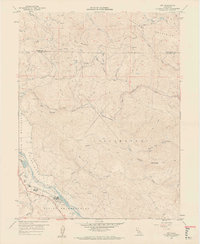
1959 Map of Asti
USGS Topo · Published 1961About this map
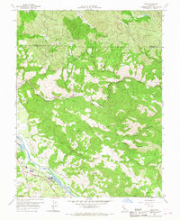
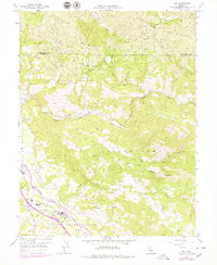
The Russian River corridor anchors this northern California landscape, where the Northwestern Pacific railroad follows the valley floor through the settlement of Asti. This 1959 survey reveals an area defined by agricultural production and early industrial infrastructure, specifically noting a winery near the river and the Washington Sch serving the local rural population. To the east, the terrain rises sharply into the Mayacmas Mountains, marked by peaks like Pine Mountain and Pocket Peak.
Find a feature on this map
32 named features on this map. Tap any name to fly to it.
Don’t see what you’re looking for? This feature index may not catch every label — zoom into the map to look around manually.
Map Details
Editions of this 1959 Asti Map
6 editions found
Other maps of this area

1920 · Healdsburg
USGS Topo · 1:62,500

1921 · Skaggs
USGS Topo · 1:62,500

1921 · Kelseyville
USGS Topo · 1:62,500

1933 · Healdsburg
USGS Topo · 1:48,000

1938 · Hopland
USGS Topo · 1:62,500

1940 · Healdsburg
USGS Topo · 1:62,500

1943 · Skaggs Springs
USGS Topo · 1:24,000

1943 · Kelseyville
USGS Topo · 1:62,500

1943 · Hopland
USGS Topo · 1:62,500

1944 · Skaggs Springs
USGS Topo · 1:31,680