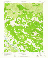
1959 Map of Asti
USGS Topo · Published 1961About this map
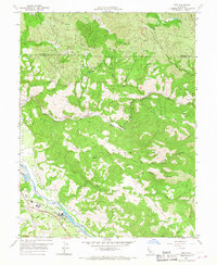
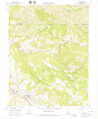
Alexander Valley is anchored by the settlement of Asti, where the Northwestern Pacific railroad follows the sweep of the Russian River. This late-1950s record shows the region's viticultural identity, with a cluster of wineries located near the riverbank and the Washington Sch serving the local community. To the north and east, the terrain rises sharply into the Mayacmas Mountains and toward Pine Mountain, a landscape dominated by deep canyons such as Devils Den and the drainage of Big Sulphur Creek. The map documents the boundary between Mendocino and Sonoma counties and the historic extent of the Rincon de Musalacon and Caslamayomi land grants. Isolated infrastructure like the Radio Repeater Station and various gaging stations highlight the era's focus on water management and communication in the backcountry.
Find a feature on this map
43 named features on this map. Tap any name to fly to it.
Don’t see what you’re looking for? This feature index may not catch every label — zoom into the map to look around manually.
Map Details
Editions of this 1959 Asti Map
6 editions found
Other maps of this area

1920 · Healdsburg
USGS Topo · 1:62,500

1921 · Skaggs
USGS Topo · 1:62,500

1921 · Kelseyville
USGS Topo · 1:62,500

1933 · Healdsburg
USGS Topo · 1:48,000

1938 · Hopland
USGS Topo · 1:62,500

1940 · Healdsburg
USGS Topo · 1:62,500

1943 · Skaggs Springs
USGS Topo · 1:24,000

1943 · Kelseyville
USGS Topo · 1:62,500

1943 · Hopland
USGS Topo · 1:62,500

1944 · Skaggs Springs
USGS Topo · 1:31,680