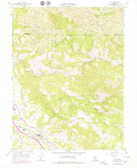
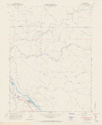
1959 Map of Asti
USGS Topo · Published 1978About this map
The Russian River valley anchors this 1959 survey, showing the agricultural and transport corridor of the Rincon De Musalacon land grant. The settlement of Asti is the focal point, characterized by its viticultural identity and proximity to the Northwestern Pacific railroad. To the west, the Cloverdale Airfield and several wineries dot the landscape, reflecting the region's mid-century economic drivers.
Find a feature on this map
33 named features on this map. Tap any name to fly to it.
Don’t see what you’re looking for? This feature index may not catch every label — zoom into the map to look around manually.
Map Details
Editions of this 1959 Asti Map
6 editions found
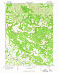
Other maps of this area

1920 · Healdsburg
USGS Topo · 1:62,500

1921 · Skaggs
USGS Topo · 1:62,500

1921 · Kelseyville
USGS Topo · 1:62,500

1933 · Healdsburg
USGS Topo · 1:48,000

1938 · Hopland
USGS Topo · 1:62,500

1940 · Healdsburg
USGS Topo · 1:62,500

1943 · Skaggs Springs
USGS Topo · 1:24,000

1943 · Kelseyville
USGS Topo · 1:62,500

1943 · Hopland
USGS Topo · 1:62,500

1944 · Skaggs Springs
USGS Topo · 1:31,680