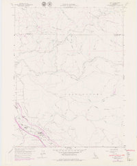
1959 Map of Asti
USGS Topo · Published 1959About this map
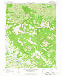
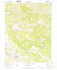
Alexander Valley viticulture and the riverside economy of the late 1950s define this survey of the Russian River corridor. The settlement of Asti serves as a focal point, anchored by its winery operations and the Washington Sch, while the Northwestern Pacific railroad and the Redwood Highway provide the primary transit arteries through the valley. The map reveals the relationship between the flat agricultural lands and the surrounding uplands, including the Rincon De Musalacon and the heights of Pine Mountain. To the west, the Cloverdale Airfield sits near the riverbank, while the interior is marked by numerous Springs and a network of jeep trails reaching toward the Radio Repeater Station and the Mayacmas Mountains. Notable topographical features like Devils Den North Branch Canyon and Big Sulphur Creek illustrate the transition from the fertile valley floor to the rugged northern terrain.
Find a feature on this map
34 named features on this map. Tap any name to fly to it.
Don’t see what you’re looking for? This feature index may not catch every label — zoom into the map to look around manually.
Map Details
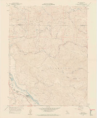
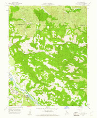
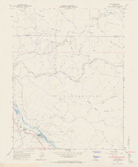
Editions of this 1959 Asti Map
6 editions found
Other maps of this area

1920 · Healdsburg
USGS Topo · 1:62,500

1921 · Skaggs
USGS Topo · 1:62,500

1921 · Kelseyville
USGS Topo · 1:62,500

1933 · Healdsburg
USGS Topo · 1:48,000

1938 · Hopland
USGS Topo · 1:62,500

1940 · Healdsburg
USGS Topo · 1:62,500

1943 · Skaggs Springs
USGS Topo · 1:24,000

1943 · Kelseyville
USGS Topo · 1:62,500

1943 · Hopland
USGS Topo · 1:62,500

1944 · Skaggs Springs
USGS Topo · 1:31,680