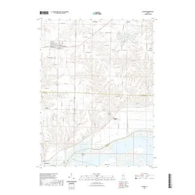
2021 Map of Astoria
USGS Topo · Published 2021About this map
Astoria serves as the primary hub in this portion of Fulton County, situated at the intersection of E State Rte 24 and several local thoroughfares. The landscape transitions from the gridded streets of the town into a dissected terrain of creeks and ridges, eventually descending toward the expansive bottomlands of the Illinois River. This riparian environment is defined by a complex network of backwaters and side channels, including Long Lake, Ingram Lake, and the winding Panther Slough.
Find a feature on this map
66 named features on this map. Tap any name to fly to it.
Don’t see what you’re looking for? This feature index may not catch every label — zoom into the map to look around manually.
Map Details
Editions of this 2021 Astoria Map
This is the sole edition of this map. No revisions or reprints were ever made.
Other maps of this area

1918 · Vermont
USGS Topo · 1:62,500

1921 · Vermont
USGS Topo · 1:62,500

1925 · Havana
USGS Topo · 1:62,500

1926 · Beardstown
USGS Topo · 1:62,500

1930 · Chandlerville
USGS Topo · 1:62,500

1932 · Chandlerville
USGS Topo · 1:62,500

1944 · Beardstown
USGS Topo · 1:62,500

1947 · Vermont
USGS Topo · 1:24,000

1948 · Duncan Mills
USGS Topo · 1:24,000
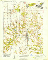
1948 · Vermont
USGS Topo · 1:24,000