2024 Map of Astoria
USGS Topo · Published 2024About this map
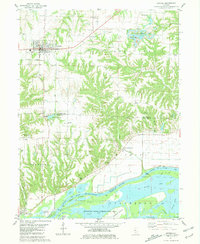
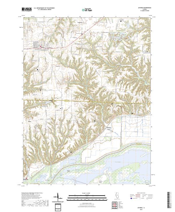
Astoria sits at the northern height of this Fulton County landscape, where the street grid follows a traditional Midwestern layout near the intersection of E State Rte 24 and N Market St. The terrain drops southward through a series of deeply incised drainages like Wilson Creek and Elm Creek, moving from upland agriculture toward the broad alluvial plains of the Illinois River. This transition reveals a history of localized settlement and burial grounds, such as Mud Valley Cem and Salisbury Cem, positioned on the bluff lines overlooking the bottomlands.
Find a feature on this map
110 named features on this map. Tap any name to fly to it.
Don’t see what you’re looking for? This feature index may not catch every label — zoom into the map to look around manually.
Map Details
Editions of this 2024 Astoria Map
This is the sole edition of this map. No revisions or reprints were ever made.
Historical Maps of Astoria Through Time
6 maps found