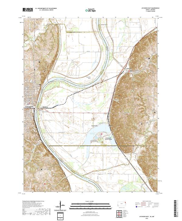
2022 Map of Atchison East
USGS Topo · Published 2022About this map
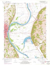
The Missouri River winds through the heart of this landscape, carving a complex boundary between Atchison, Kansas, and Buchanan and Platte Counties in Missouri. On the western bank, the city of Atchison serves as a focal point, anchored by the Atchison County Courthouse and the sprawling campus of Benedictine College. The river's dynamic history is written in its numerous bends and oxbows, including Atchison Bend, Rushville Bend, and Doniphan Bend.
Find a feature on this map
87 named features on this map. Tap any name to fly to it.
Don’t see what you’re looking for? This feature index may not catch every label — zoom into the map to look around manually.
Map Details
Editions of this 2022 Atchison East Map
This is the sole edition of this map. No revisions or reprints were ever made.
Historical Maps of Armour Through Time
14 maps found
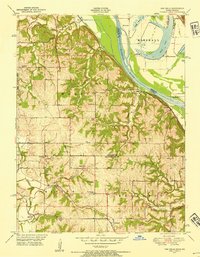
1948 Oak Mills
Atchison County, KS
1951 Oak Mills
Atchison County, KS
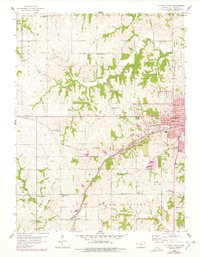
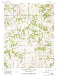
1959 Atchison West
Atchison County, KS
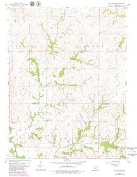
1959 Half Mound
Atchison County, KS
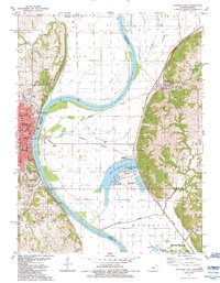
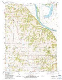
1960 Atchison East
Atchison County, KS
1960 Potter
Atchison County, KS
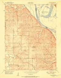
1961 Oak Mills
Atchison County, KS
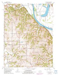
1984 Atchison East
Atchison County, KS
1984 Oak Mills
Atchison County, KS
2022 Atchison East
Atchison County, KS
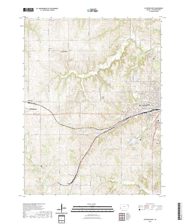
2022 Atchison West
Atchison County, KS
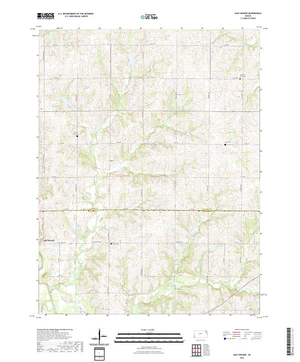
2022 Half Mound
Atchison County, KS
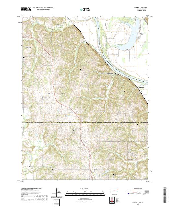
2022 Oak Mills
Atchison County, KS
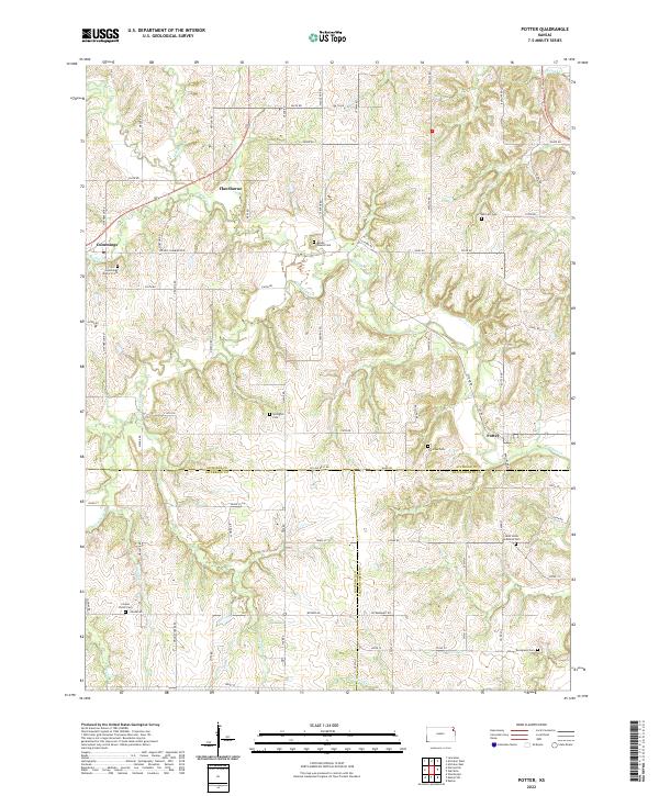
2022 Potter
Atchison County, KS