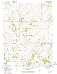
1959 Map of Half Mound
USGS Topo · Published 1979About this map
Coal Creek and Walnut Creek carve through the agricultural landscape of northern Kansas, defining the rural character of the area near the Atchison Co Jefferson Co border. The settlement of Half Mound serves as a local landmark in this prairie region, which is marked by a network of small family cemeteries and country institutions. Genealogists and local historians can find documented sites such as Pleasant Grove Cem, Earnst Cem, and Neill Cem, alongside the Nichols Sch and Coal Creek Ch. The southern portion of the map shows the transition into the Perry State Game Management Area, while the Atchison Topeka and Santa Fe railroad line cuts across the southern townships of Delaware and Norton, reflecting the importance of rail transport to the local farm economy during the late 1950s.
Find a feature on this map
17 named features on this map. Tap any name to fly to it.
Don’t see what you’re looking for? This feature index may not catch every label — zoom into the map to look around manually.
Map Details
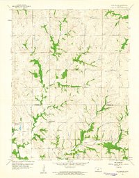
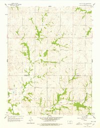
Editions of this 1959 Half Mound Map
3 editions found
Other maps of this area

1885 · Atchison
USGS Topo · 1:125,000

1886 · Oskaloosa
USGS Topo · 1:125,000

1888 · Oskaloosa
USGS Topo · 1:125,000

1888 · Atchison
USGS Topo · 1:125,000

1888 · Hiawatha
USGS Topo · 1:125,000

1889 · Topeka
USGS Topo · 1:125,000

1893 · Atchison
USGS Topo · 1:125,000

1894 · Oskaloosa
USGS Topo · 1:125,000

1894 · Topeka
USGS Topo · 1:125,000

1894 · Hiawatha
USGS Topo · 1:125,000