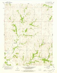
1959 Map of Half Mound
USGS Topo · Published 1978About this map
Half Mound sits at the intersection of rural townships in Kansas, marking a landscape defined by the transition between agricultural uplands and the Delaware River valley. This late 1950s survey illustrates a deeply established farming community, where the Atchison Topeka and Santa Fe railroad cuts across the southern portion of Norton and Delaware townships. The map provides significant genealogical value, documenting family-centered landmarks such as Earnst Cem, Neill Cem, and Pleasant Grove Cem, alongside local hubs like Prairie View Sch and Nichols Sch.
Find a feature on this map
18 named features on this map. Tap any name to fly to it.
Don’t see what you’re looking for? This feature index may not catch every label — zoom into the map to look around manually.
Map Details
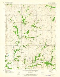
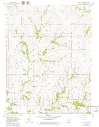
Editions of this 1959 Half Mound Map
3 editions found
Other maps of this area

1885 · Atchison
USGS Topo · 1:125,000

1886 · Oskaloosa
USGS Topo · 1:125,000

1888 · Oskaloosa
USGS Topo · 1:125,000

1888 · Atchison
USGS Topo · 1:125,000

1888 · Hiawatha
USGS Topo · 1:125,000

1889 · Topeka
USGS Topo · 1:125,000

1893 · Atchison
USGS Topo · 1:125,000

1894 · Oskaloosa
USGS Topo · 1:125,000

1894 · Topeka
USGS Topo · 1:125,000

1894 · Hiawatha
USGS Topo · 1:125,000