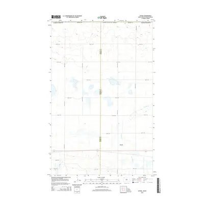
2014 Map of Atcoal
USGS Topo · Published 2014About this map
Divide County and Burke County meet at the international border in this high-plains landscape north of the Missouri River. The settlement of Atcoal sits within a prairie environment defined by the winding course of the W Br Short Cr. The terrain is characterized by numerous small depressions and potholes, typical of the glaciated plains, which collect surface water across the northern portion of the quadrangle. A strictly organized grid of rural roads, including 108th St NW and 106th Ave NW, facilitates access to the remote agricultural sections. The map also documents the transition into Canada along the northern margin, where the boundary between the United States of America and Saskatchewan is clearly delineated.
Find a feature on this map
18 named features on this map. Tap any name to fly to it.
Don’t see what you’re looking for? This feature index may not catch every label — zoom into the map to look around manually.
Map Details
Editions of this 2014 Atcoal Map
This is the sole edition of this map. No revisions or reprints were ever made.
Other maps of this area

1947 · Noonan
USGS Topo · 1:24,000

1947 · Columbus
USGS Topo · 1:24,000

1949 · Columbus SW
USGS Topo · 1:24,000

1949 · Atcoal
USGS Topo · 1:24,000

1949 · Columbus
USGS Topo · 1:24,000

1949 · Noonan SE
USGS Topo · 1:24,000

1949 · Columbus SE
USGS Topo · 1:24,000

1949 · Noonan
USGS Topo · 1:24,000

1950 · Columbus
USGS Topo · 1:62,500

1950 · Noonan
USGS Topo · 1:62,500