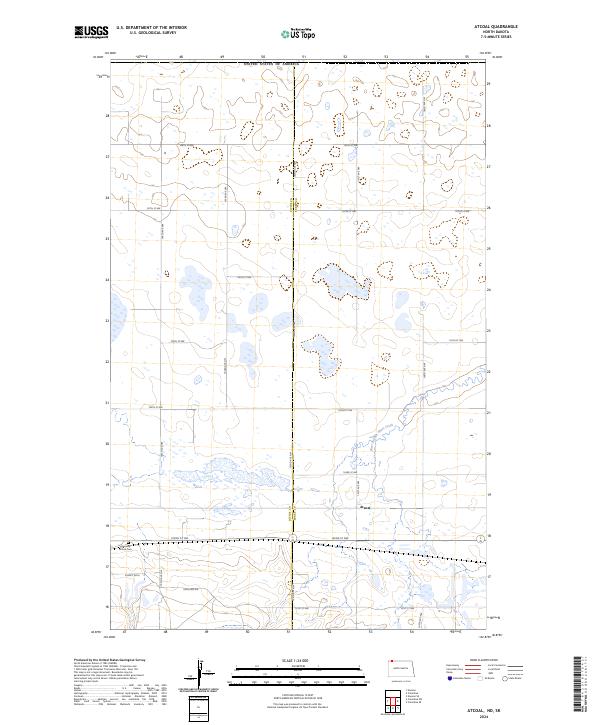
2024 Map of Atcoal
USGS Topo · Published 2024About this map
Atcoal and the surrounding prairie lands straddle the border of Divide Co and Burke Co in this modern topographic study of northwestern North Dakota. The landscape is defined by the winding course of the West Branch Short Creek, which flows through the eastern half of the quadrangle amidst a dense network of wetlands and small water bodies. This area, largely organized by the Public Land Survey System, reflects the enduring rural character of the region where township lines like t163n r94w intersect with a grid of local gravel roads, including 102nd St NW and 104th Ave NW. Near the southern edge of the survey, the Assembly of God Cem stands as a significant point of interest for genealogists and local historians documenting the early community life and spiritual heritage of the families who settled this high plains territory.
Find a feature on this map
26 named features on this map. Tap any name to fly to it.
Don’t see what you’re looking for? This feature index may not catch every label — zoom into the map to look around manually.
Map Details
Editions of this 2024 Atcoal Map
This is the sole edition of this map. No revisions or reprints were ever made.
Other maps of this area

1947 · Noonan
USGS Topo · 1:24,000

1947 · Columbus
USGS Topo · 1:24,000

1949 · Columbus SW
USGS Topo · 1:24,000

1949 · Atcoal
USGS Topo · 1:24,000

1949 · Columbus
USGS Topo · 1:24,000

1949 · Noonan SE
USGS Topo · 1:24,000

1949 · Columbus SE
USGS Topo · 1:24,000

1949 · Noonan
USGS Topo · 1:24,000

1950 · Columbus
USGS Topo · 1:62,500

1950 · Noonan
USGS Topo · 1:62,500