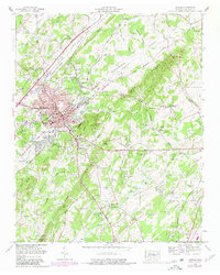
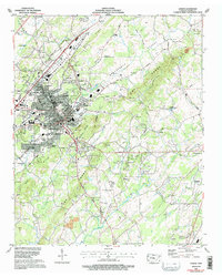
1964 Map of Athens
USGS Topo · Published 1980About this map
The Southern Railway and Louisville and Nashville Railroad intersect in the mid-1960s at Athens, a period of established local industry and residential expansion. The city is flanked by topographic features like Ingleside Hill and Mill Ridge, while the campus of Tennessee Wesleyan College sits near the heart of the downtown area. Neighborhood developments such as Bohannon Addition and Housley Addition illustrate the mid-century growth patterns of the city, while the surrounding rural landscape of the Oostanaula Valley remains dotted with family-named landmarks and historical sites. Beyond the city limits, the map traces the ridges of The Knobs and reveals subterranean features such as Cook Cave and Cooper Cave. A dense network of rural cemeteries, including Mt Harmony Cem and Netherland Rice Cem, provides valuable documentation for genealogists and local historians studying the settlement patterns of McMinn County.
Find a feature on this map
79 named features on this map. Tap any name to fly to it.
Don’t see what you’re looking for? This feature index may not catch every label — zoom into the map to look around manually.
Map Details
Editions of this 1964 Athens Map
5 editions found
Other maps of this area

1886 · Cleveland
USGS Topo · 1:125,000

1887 · Kingston
USGS Topo · 1:125,000

1891 · Kingston
USGS Topo · 1:125,000

1892 · Cleveland
USGS Topo · 1:125,000

1893 · Murphy
USGS Topo · 1:125,000

1893 · Kingston
USGS Topo · 1:125,000

1895 · Cleveland
USGS Topo · 1:125,000

1895 · Loudon
USGS Topo · 1:125,000

1901 · Cleveland
USGS Topo · 1:125,000

1914 · Murphy
USGS Topo · 1:125,000