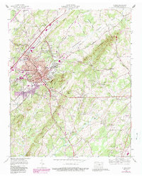
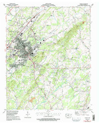
1964 Map of Athens
USGS Topo · Published 1989About this map
Athens serves as the focal point of this valley landscape, showing significant residential and institutional growth during the mid-to-late 20th century. The campus of Tennessee Wesleyan College and the Mcminn County Airport anchor the local infrastructure, while neighborhoods like Lockmiller Addition and Bohannon Addition reveal the post-war expansion of the city footprint. The terrain is defined by the parallel ridges of Niota Ridge and The Knobs, which funnel Oostanaula Creek and the Southern Railway through the Sweetwater Valley.
Find a feature on this map
83 named features on this map. Tap any name to fly to it.
Don’t see what you’re looking for? This feature index may not catch every label — zoom into the map to look around manually.
Map Details
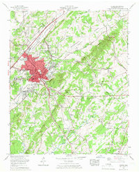
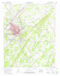
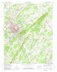
Editions of this 1964 Athens Map
5 editions found
Other maps of this area

1886 · Cleveland
USGS Topo · 1:125,000

1887 · Kingston
USGS Topo · 1:125,000

1891 · Kingston
USGS Topo · 1:125,000

1892 · Cleveland
USGS Topo · 1:125,000

1893 · Murphy
USGS Topo · 1:125,000

1893 · Kingston
USGS Topo · 1:125,000

1895 · Cleveland
USGS Topo · 1:125,000

1895 · Loudon
USGS Topo · 1:125,000

1901 · Cleveland
USGS Topo · 1:125,000

1914 · Murphy
USGS Topo · 1:125,000