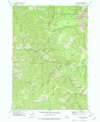
1972 Map of Atlanta West
USGS Topo · Published 1977About this map
Atlanta serves as the focal point for this 1972 Idaho survey, situated near the confluence of the Middle Fork Boise River and Quartz Gulch. The settlement's connection to the surrounding wilderness is evident through the placement of the Forest Service Station and the Atlanta Power Station along the river banks. This area is characterized by a dense network of drainages and canyons, including Big Gulch, Camp Gulch, and Sawmill Creek, which suggest the historic importance of timber and water resources to local industry.
Find a feature on this map
40 named features on this map. Tap any name to fly to it.
Don’t see what you’re looking for? This feature index may not catch every label — zoom into the map to look around manually.
Map Details
Editions of this 1972 Atlanta West Map
3 editions found
Other maps of this area

1894 · Rocky Bar
USGS Topo · 1:125,000

1955 · Hailey
USGS Topo · 1:250,000

1959 · Hailey
USGS Topo · 1:250,000

1962 · Hailey
USGS Topo · 1:250,000

1964 · Ross Peak
USGS Topo · 1:24,000

1964 · Cayuse Point
USGS Topo · 1:24,000
1964 · Rocky Bar
USGS Topo · 1:24,000
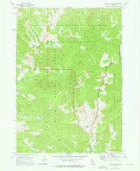
1972 · Atlanta East
USGS Topo · 1:24,000
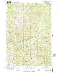
1972 · Swanholm Peak
USGS Topo · 1:24,000
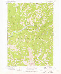
1972 · Phifer Creek
USGS Topo · 1:24,000