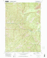
1972 Map of Atlanta West
USGS Topo · Published 1985About this map
The mountain settlement of Atlanta sits at the confluence of several vital waterways in the Idaho backcountry during the early 1970s. Infrastructure for this remote community is centered around the Middle Fork Boise River, which supports the Atlanta Power Station and provides access to the surrounding national forests. The map illustrates a landscape shaped by both early industry and emerging recreation, featuring an unnamed Mine alongside established wilderness corridors.
Find a feature on this map
43 named features on this map. Tap any name to fly to it.
Don’t see what you’re looking for? This feature index may not catch every label — zoom into the map to look around manually.
Map Details
Editions of this 1972 Atlanta West Map
3 editions found
Other maps of this area

1894 · Rocky Bar
USGS Topo · 1:125,000

1955 · Hailey
USGS Topo · 1:250,000

1959 · Hailey
USGS Topo · 1:250,000

1962 · Hailey
USGS Topo · 1:250,000

1964 · Ross Peak
USGS Topo · 1:24,000

1964 · Cayuse Point
USGS Topo · 1:24,000
1964 · Rocky Bar
USGS Topo · 1:24,000
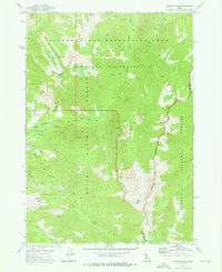
1972 · Atlanta East
USGS Topo · 1:24,000
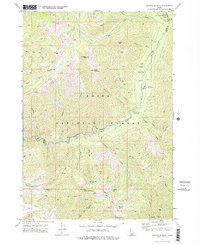
1972 · Swanholm Peak
USGS Topo · 1:24,000
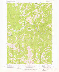
1972 · Phifer Creek
USGS Topo · 1:24,000