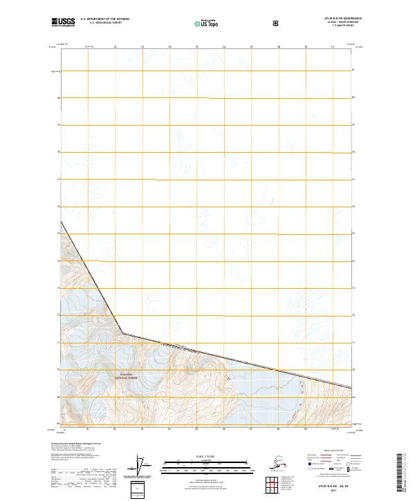
2021 Map of Atlin B-8 SW
USGS Topo · Published 2021About this map
Tongass National Forest dominates the southern reaches of this terrain, where the high-altitude landscape is defined by the international boundary. This 2021 survey by the U.S. Geological Survey details the remote intersection of the Canada United States of America border as it cuts through the rugged coastal mountains of the Haines Borough. The map provides precise topographic data for this wilderness area, illustrating the sharp ridgelines and glacial drainage patterns that characterize the northernmost reaches of the Alexander Archipelago. With few human settlements or developed roads, the area remains a primitive landscape where federal land management and international diplomacy meet among the peaks.
Find a feature on this map
24 named features on this map. Tap any name to fly to it.
Don’t see what you’re looking for? This feature index may not catch every label — zoom into the map to look around manually.
Map Details
Editions of this 2021 Atlin B-8 SW Map
This is the sole edition of this map. No revisions or reprints were ever made.
Other maps of this area

1948 · Skagway A-1
USGS Topo · 1:63,360

1949 · Atlin
USGS Topo · 1:250,000

1949 · Skagway B-1
USGS Topo · 1:63,360

1951 · Skagway A-1
USGS Topo · 1:63,360

1951 · Atlin
USGS Topo · 1:250,000

1951 · Skagway B-1
USGS Topo · 1:63,360

1952 · Skagway
USGS Topo · 1:250,000

1960 · Atlin A-8
USGS Topo · 1:63,360
1960 · Atlin B-8
USGS Topo · 1:63,360

1960 · Atlin
USGS Topo · 1:250,000