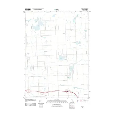
2011 Map of Attica
USGS Topo · Published 2011About this map
The unincorporated community of Attica serves as a primary focal point in this portion of Lapeer County, situated near the shores of Grass Lake and Elk Lake. This 2011 survey documents a landscape defined by its numerous glacial water bodies and the headwaters of regional drainage systems, including Pine Creek and the Belle River. The settlement of Lum is visible to the north, anchored by the Lum Cemetery and surrounded by a network of smaller lakes such as Stanton Lakes and Rose Lake.
Find a feature on this map
92 named features on this map. Tap any name to fly to it.
Don’t see what you’re looking for? This feature index may not catch every label — zoom into the map to look around manually.
Map Details
Editions of this 2011 Attica Map
This is the sole edition of this map. No revisions or reprints were ever made.
Other maps of this area

1943 · Metamora
USGS Topo · 1:24,000

1945 · Almont
USGS Topo · 1:24,000

1945 · Thornville
USGS Topo · 1:24,000

1946 · Metamora
USGS Topo · 1:24,000

1954 · Detroit
USGS Topo · 1:250,000

1954 · Flint
USGS Topo · 1:250,000

1958 · Flint
USGS Topo · 1:250,000

1961 · Detroit
USGS Topo · 1:250,000

1963 · Attica
USGS Topo · 1:24,000

1963 · North Branch
USGS Topo · 1:24,000