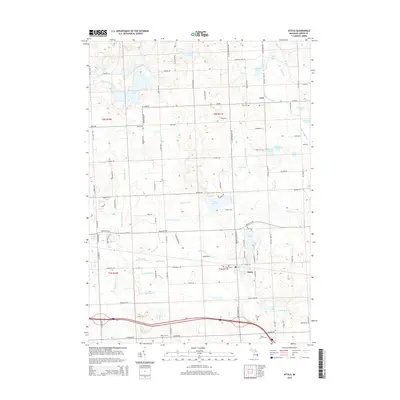
2014 Map of Attica
USGS Topo · Published 2014About this map
The settlement of Attica serves as a primary hub for this portion of Lapeer County, where the transition from agriculture to recreational lakefront properties is evident. Numerous cemeteries, including Attica Cem, Lum Cem, Bahel Cem, and Roscoe Cem, provide essential data for genealogists tracing families in the townships of T8N R10E and T8N R11E. The northern hamlet of Lum sits amidst a network of drainage features like Winn Drain and Brant Lake Drain, reflecting the engineering required to manage the area's high water table.
Find a feature on this map
63 named features on this map. Tap any name to fly to it.
Don’t see what you’re looking for? This feature index may not catch every label — zoom into the map to look around manually.
Map Details
Editions of this 2014 Attica Map
This is the sole edition of this map. No revisions or reprints were ever made.
Other maps of this area

1943 · Metamora
USGS Topo · 1:24,000

1945 · Almont
USGS Topo · 1:24,000

1945 · Thornville
USGS Topo · 1:24,000

1946 · Metamora
USGS Topo · 1:24,000

1954 · Detroit
USGS Topo · 1:250,000

1954 · Flint
USGS Topo · 1:250,000

1958 · Flint
USGS Topo · 1:250,000

1961 · Detroit
USGS Topo · 1:250,000

1963 · Attica
USGS Topo · 1:24,000

1963 · North Branch
USGS Topo · 1:24,000