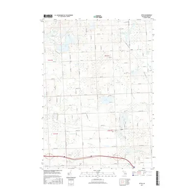
2017 Map of Attica
USGS Topo · Published 2017About this map
Lum and Attica anchor this portion of Lapeer County, where the landscape is defined by an intricate network of glacial lakes and managed drainage basins. The settlement at Attica is situated near Grass Lake and Elk Lake, while Lum is positioned further north, bordered by the Lum Cem. This area is particularly significant for genealogical research, as it preserves the locations of several historic burial grounds, including Bahel Cem near Daley RD and Roscoe Cem on the southern edge of the survey. The hydrology of the region is highly developed, featuring numerous named agricultural waterways such as Peasly Drain, Bishop Drain, and Swamp Corners Drain. These drainage systems illustrate the transformation of the natural wetlands surrounding Lake Pleasant and Fish Lake into a productive rural environment, connected by a grid of established thoroughfares like W Imlay City RD and Co HWY 52.
Find a feature on this map
73 named features on this map. Tap any name to fly to it.
Don’t see what you’re looking for? This feature index may not catch every label — zoom into the map to look around manually.
Map Details
Editions of this 2017 Attica Map
This is the sole edition of this map. No revisions or reprints were ever made.
Other maps of this area

1943 · Metamora
USGS Topo · 1:24,000

1945 · Almont
USGS Topo · 1:24,000

1945 · Thornville
USGS Topo · 1:24,000

1946 · Metamora
USGS Topo · 1:24,000

1954 · Detroit
USGS Topo · 1:250,000

1954 · Flint
USGS Topo · 1:250,000

1958 · Flint
USGS Topo · 1:250,000

1961 · Detroit
USGS Topo · 1:250,000

1963 · Attica
USGS Topo · 1:24,000

1963 · North Branch
USGS Topo · 1:24,000