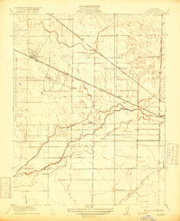
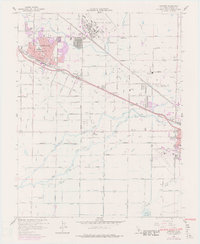
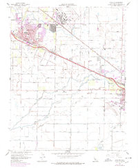
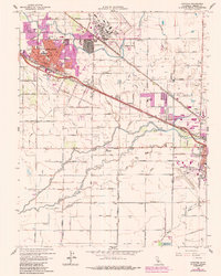
1960 Map of Atwater
USGS Topo · Published 1961About this map
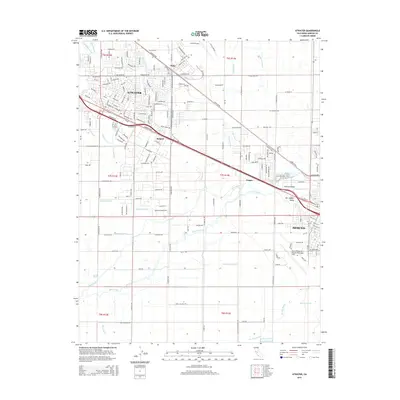
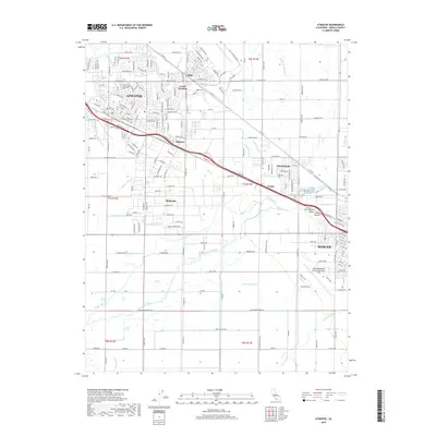
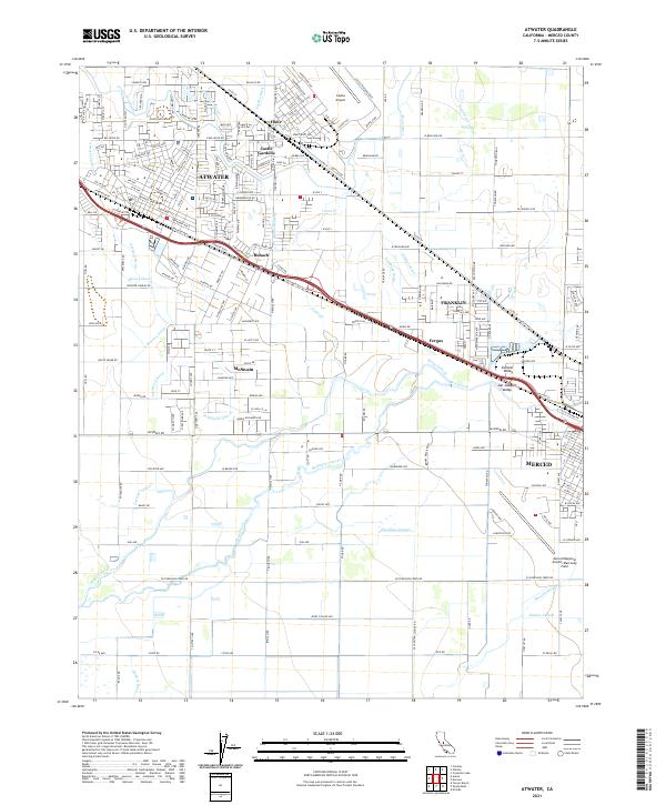
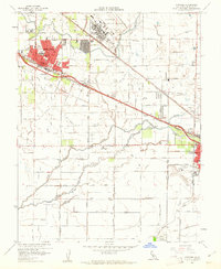
Castle Air Force Base dominates the northern landscape of this Central Valley region, anchoring a corridor of military and agricultural activity during the early 1960s. The city of Atwater serves as a primary hub, while the northwestern corner of Merced begins to emerge near the Merced Municipal Airport. This era shows a complex irrigation network including the Santa Fe Canal, Main Canal, and Atwater Canal, which define the local citrus and dairy economy. Smaller communities and railroad sidings like Buhach, Fluhr, and Fergus appear alongside the Southern Pacific tracks, providing specific points of interest for genealogists tracking local families. Educational landmarks such as McSwain School and Wood Sch are scattered across the grid, while the Dickenson Ferry Slough and Black Rascal Creek mark the natural drainage patterns that shaped early land use.
Find a feature on this map
54 named features on this map. Tap any name to fly to it.
Don’t see what you’re looking for? This feature index may not catch every label — zoom into the map to look around manually.
Map Details
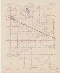
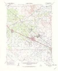
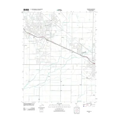
Editions of this 1960 Atwater Map
4 editions found
Historical Maps of Merced Through Time
8 maps found