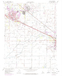
1960 Map of Atwater
USGS Topo · Published 1978About this map
The sprawling operations of Castle Air Force Base anchor the landscape north of Atwater, reflecting the mid-century military presence in the San Joaquin Valley. This 1960s survey, with 1970s revisions, illustrates the established agricultural and transportation corridors of Merced County. Two major railroads, the Southern Pacific and the Atchison Topeka and Santa Fe, run parallel through the area, supporting the small communities of Buhach and Fluhr.
Find a feature on this map
44 named features on this map. Tap any name to fly to it.
Don’t see what you’re looking for? This feature index may not catch every label — zoom into the map to look around manually.
Map Details
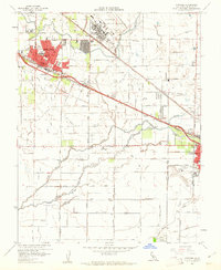
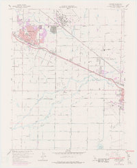
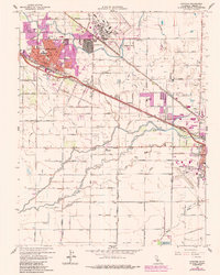
Editions of this 1960 Atwater Map
4 editions found
Other maps of this area

1914 · Merced
USGS Topo · 1:31,680

1916 · Hopeton
USGS Topo · 1:31,680

1916 · Cressey
USGS Topo · 1:31,680

1917 · Winton
USGS Topo · 1:31,680

1917 · Merced
USGS Topo · 1:31,680

1918 · Arena
USGS Topo · 1:31,680

1918 · Lingard
USGS Topo · 1:31,680

1918 · Atwater
USGS Topo · 1:31,680

1918 · Sandy Mush
USGS Topo · 1:31,680

1918 · Turner Ranch
USGS Topo · 1:31,680