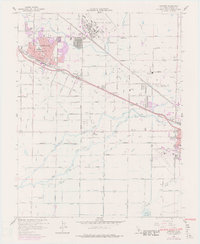
1960 Map of Atwater
USGS Topo · Published 1978About this map
Castle Air Force Base dominates the northern landscape of this Central Valley region, situated just above the growing residential grid of Atwater. The late 1950s and 1970s development patterns are visible through purple-tinted urban extensions, showing how the town expanded around core landmarks like St Anthony Sch and the City Hall. This period reveals a landscape transitioning from intensive agriculture to suburban support for the military installation, though the legacy of the area's hydraulic history remains present in the intricate network of the Livingston Canal and Buhach Canal.
Find a feature on this map
53 named features on this map. Tap any name to fly to it.
Don’t see what you’re looking for? This feature index may not catch every label — zoom into the map to look around manually.
Map Details
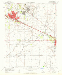
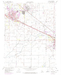
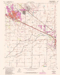
Editions of this 1960 Atwater Map
4 editions found
Other maps of this area

1914 · Merced
USGS Topo · 1:31,680

1916 · Hopeton
USGS Topo · 1:31,680

1916 · Cressey
USGS Topo · 1:31,680

1917 · Winton
USGS Topo · 1:31,680

1917 · Merced
USGS Topo · 1:31,680

1918 · Arena
USGS Topo · 1:31,680

1918 · Lingard
USGS Topo · 1:31,680

1918 · Atwater
USGS Topo · 1:31,680

1918 · Sandy Mush
USGS Topo · 1:31,680

1918 · Turner Ranch
USGS Topo · 1:31,680