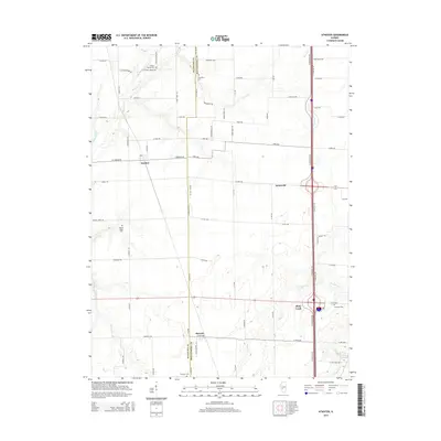
2015 Map of Atwater
USGS Topo · Published 2015About this map
Atwater and Zanesville anchor this portion of the Illinois prairie, situated along the county line where Macoupin Co and Montgomery Co meet. The landscape is defined by a grid of agricultural roads, including Sulphur Springs Rd and Goby Ave, interspersed with a series of small family and community burial grounds. These sites, such as Providence Cem, Thornton Cem, and Sulphur Spring Cem, provide important landmarks for genealogical research in this rural corridor. The drainage patterns of Shop Creek and Horse Cr carve subtle variations into the terrain, while the settlement at Barnett sits near the southern edge. The presence of numerous named trails like Independence Trl and Horse Creek Trl suggests a network of local access points across the managed fields and wooded creek bottoms.
Find a feature on this map
73 named features on this map. Tap any name to fly to it.
Don’t see what you’re looking for? This feature index may not catch every label — zoom into the map to look around manually.
Map Details
Editions of this 2015 Atwater Map
This is the sole edition of this map. No revisions or reprints were ever made.
Other maps of this area

1912 · Gillespie
USGS Topo · 1:62,500

1915 · Gillespie
USGS Topo · 1:62,500

1915 · Mount Olive
USGS Topo · 1:62,500

1923 · Carlinville
USGS Topo · 1:48,000

1923 · Raymond
USGS Topo · 1:62,500

1925 · Carlinville
USGS Topo · 1:62,500

1925 · Raymond
USGS Topo · 1:62,500

1931 · Carlinville
USGS Topo · 1:62,500

1944 · Mount Olive
USGS Topo · 1:62,500

1958 · Decatur
USGS Topo · 1:250,000