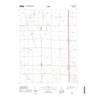
2018 Map of Atwater
USGS Topo · Published 2018About this map
The rural landscape of the Macoupin and Montgomery County line is defined by its deep agricultural grid and a network of named creek branches. The settlement of Atwater serves as the central point for a region heavily punctuated by local history markers, particularly its many rural cemeteries. Genealogists and historians can locate the Sulphur Spring Cem and Providence Cem in the north, while the southern reaches contain Crawford Cem and Thornton Cem. These burial grounds, along with Bethel Ridge Cem, are often the last standing indicators of the early families who settled along the banks of Macoupin Cr and Horse Cr. The terrain is etched by several tributaries, including Threemile Br and Slow Point Br, which navigate the township divisions between the prairie farmsteads.
Find a feature on this map
79 named features on this map. Tap any name to fly to it.
Don’t see what you’re looking for? This feature index may not catch every label — zoom into the map to look around manually.
Map Details
Editions of this 2018 Atwater Map
This is the sole edition of this map. No revisions or reprints were ever made.
Other maps of this area

1912 · Gillespie
USGS Topo · 1:62,500

1915 · Gillespie
USGS Topo · 1:62,500

1915 · Mount Olive
USGS Topo · 1:62,500

1923 · Carlinville
USGS Topo · 1:48,000

1923 · Raymond
USGS Topo · 1:62,500

1925 · Carlinville
USGS Topo · 1:62,500

1925 · Raymond
USGS Topo · 1:62,500

1931 · Carlinville
USGS Topo · 1:62,500

1944 · Mount Olive
USGS Topo · 1:62,500

1958 · Decatur
USGS Topo · 1:250,000