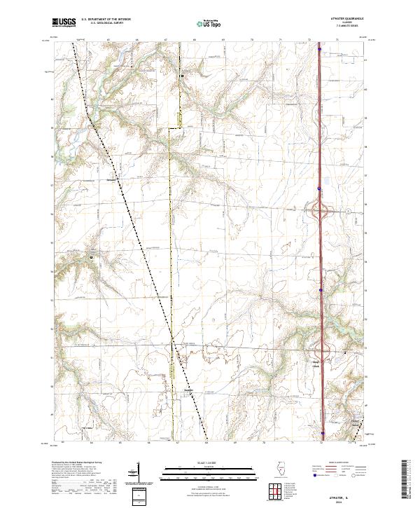
2024 Map of Atwater
USGS Topo · Published 2024About this map
Macoupin Co Montgomery Co boundary divides this central Illinois landscape, where the flat upland prairie is deeply incised by the drainage systems of Macoupin Creek and Horse Creek. The settlement pattern reflects the area's agricultural and transportation roots, with small communities like Atwater and Barnett situated along a network of section-line roads and named trails such as Goby Rd and Wood Trl. These towns and the smaller hamlet of Shop Creek serve as anchors for the surrounding rural homesteads.
Find a feature on this map
71 named features on this map. Tap any name to fly to it.
Don’t see what you’re looking for? This feature index may not catch every label — zoom into the map to look around manually.
Map Details
Editions of this 2024 Atwater Map
This is the sole edition of this map. No revisions or reprints were ever made.
Other maps of this area

1912 · Gillespie
USGS Topo · 1:62,500

1915 · Gillespie
USGS Topo · 1:62,500

1915 · Mount Olive
USGS Topo · 1:62,500

1923 · Carlinville
USGS Topo · 1:48,000

1923 · Raymond
USGS Topo · 1:62,500

1925 · Carlinville
USGS Topo · 1:62,500

1925 · Raymond
USGS Topo · 1:62,500

1931 · Carlinville
USGS Topo · 1:62,500

1944 · Mount Olive
USGS Topo · 1:62,500

1958 · Decatur
USGS Topo · 1:250,000